Automation
Cutting down on repetitive tasks, mitigating human error, and ensuring data completeness was made possible through geoprocessing tools created with Python scripts using ArcPy and other libraries.


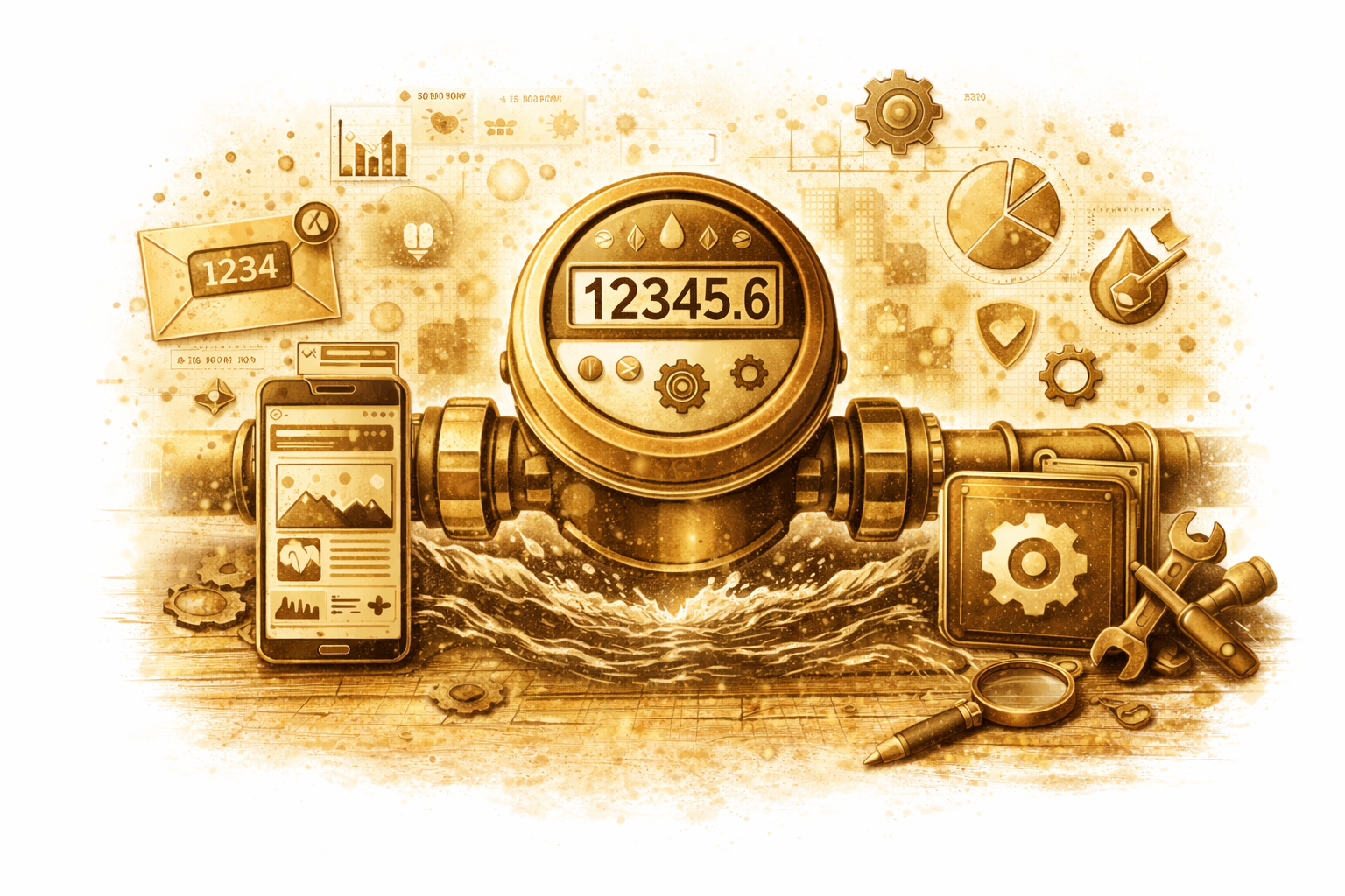
Water Usage Report
Water Usage Report
A water usage report is generated from calculating the sum of usage for each pressure zone. The output is a CSV.
The script reads polygon and point layers along with an output path and numeric field, then initializes a Pandas DataFrame to store results. For each polygon, it uses Select By Location to select points within the polygon and calculates summary statistics in memory. The count and sum values are appended to lists and the point selection is cleared using Select Layer By Attribute before moving to the next polygon. After all polygons are processed, the lists are added to the DataFrame and the DataFrame is written to a CSV file, overwriting any existing output.
Tool Output

