Masters Research Project
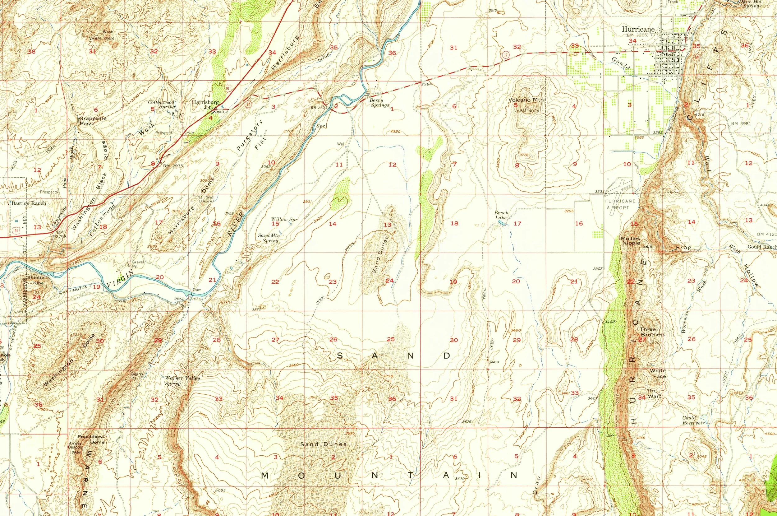
Digital Elevation Modeling and Land Classification skills were used to study sections of the Virgin River, UT
RIVER DELINEATION MODELS OF THE VIRGIN RIVER, UTAH FROM NAIP IMAGERY AND A DIGITAL ELEVATION MODEL FROM 2016 USING LAND CLASSIFICATION AND FLOW ACCUMULATION
DEM-Based FA Polyline Model

NAIP Imagery Classification Model

DEM to Polyline Workflow
Within ArcGIS Pro, ModelBuilder was used to produce polylines from the DEM. This workflow begins with a LiDAR based digital elevation model to produce flow direction, then sinks, and then uses the DEM and sinks output as parameters for producing a flow accumulation raster with the geoprocessing tool Derive Continuous Flow. Finally, it reclassifies the pixels as zero or one to single out the flowlines.
